
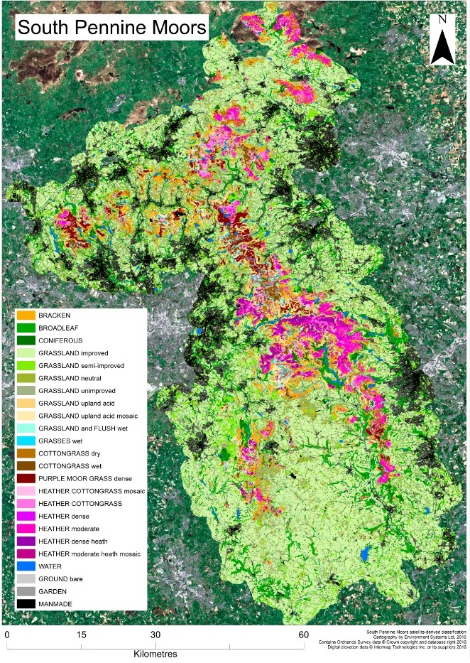
Mapping vegetation on the moors
We have created a detailed map of the location and extent of the different habitats and land covers present in the Peak District and South Pennines. We call this our land cover map.
The land cover map
Covering around 650km² of northern England, the map was created using satellite imagery together with field-survey data collected by volunteers.
The land cover map provides us with a ‘baseline’ data set which shows us the location, extent and boundaries of the different habitats and land covers present at a particular point in time. This can be used to help identify areas requiring restoration interventions as well as areas for science and monitoring.
Areas dominated by species, including heather, purple moor grass and cotton grass are of particular interest. A well-functioning blanket bog contains a rich mixture of species.
How we did it
We worked with Environment Systems Ltd. who analysed the satellite and field-survey data using a rule-based classification process to map the different habitats and land covers. The rule-based approach allows knowledge of both ecology and the content of satellite imagery to be incorporated into the classification process.
This analysis incorporates two distinct phases, segmentation and classification:
In the first phase, image segmentation splits the image into objects of similar spectral characteristics based on an objects size, colour and texture.
In the second phase, the classification phase, objects are assigned land cover categories, based on the spectral properties of habitats, mapping experience, survey information, and ecological and local knowledge.
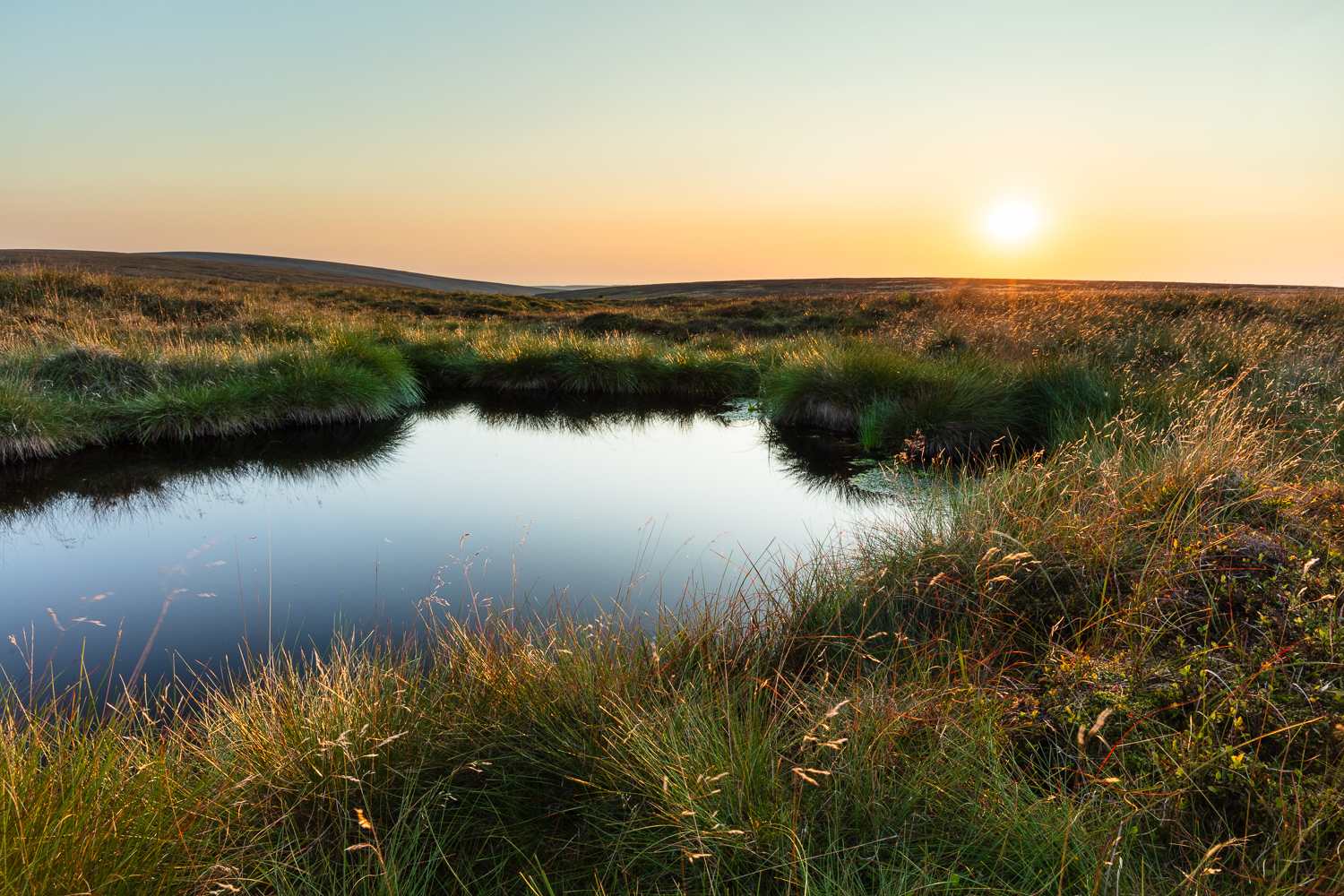
Monitoring at a landscape scale
We using aerial imagery to study moorlands at a landscape scale as part of the MoorLIFE 2020 project
You may also be interested in...
Funded by
![]()
![]()