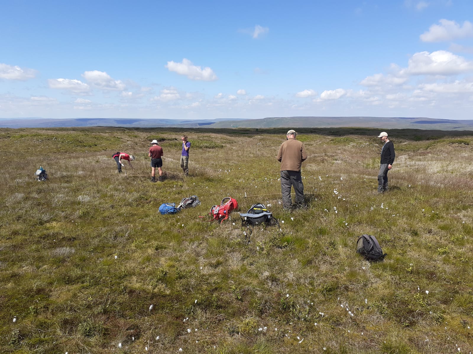
The cotton grass is starting to fade once again, which can only mean one thing. It is that time of year again where our volunteers do what they do best, time to hit the moors in force to monitor the vegetation cover across the hills.

There are two types of moorland vegetation monitoring that the Partnership carries out, environmental and restoration. Environmental monitoring takes place over the course of the year, and looks at sites where the moors are in a reasonable condition already, without any restoration work having taken place. At these sites, we are looking at more ‘background’ changes that are influenced by any changes in climate and closely monitor the species.
Restoration monitoring on the other hand, looks at what happens when we revegetate bare peat areas, and diversify areas dominated by a single vegetation species. This has provided evidence of the successful re-vegetation of bare peat using our peat stabilisation techniques. Monitoring of restoration sites started over 18 years ago (2003–2021), and every year, our team of dedicated volunteers hike the hills come rain or shine to help to monitor the vegetation cover in areas that have received conservation works. Monitoring has helped us understand how to re-establish native moorland plants successfully, including sphagnum moss, the keystone plant in active blanket bogs here in the South Pennines Special Area of Conservation. It is only thanks to our team of dedicated volunteers over the years that we have been able to collect such a comprehensive dataset that spans a vast geographical area, as well as providing a robust dataset spanning 18 years.
This year, the team will be analysing the core monitoring sites. These sites include Kinder Scout, Birchinlee, Derwent & Howden and Linsgreave (Rishworth).
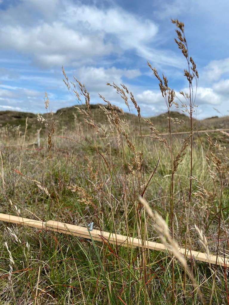
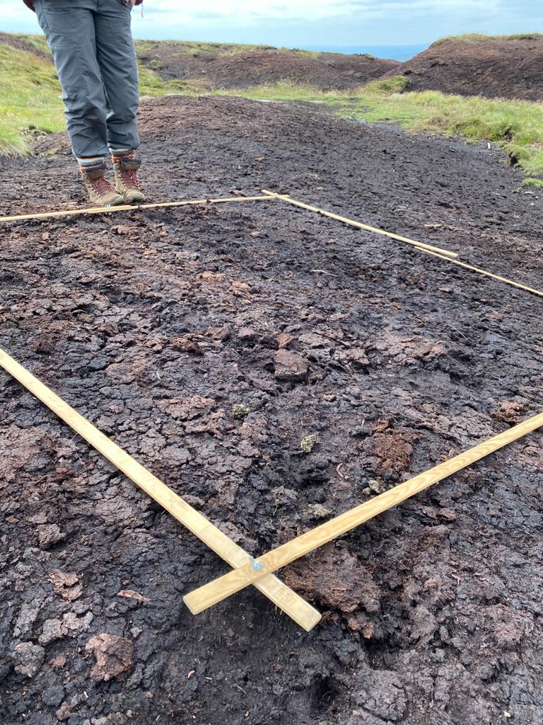
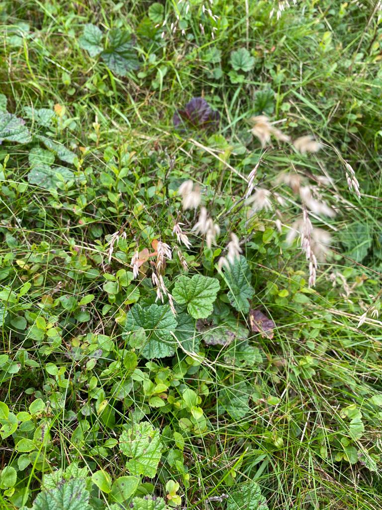
The team will analyse fixed locations for different vegetation cover, looking at and recording the species that are growing within a 2m x 2m quadrat, including grasses, dwarf shrubs, invasive species and mosses. The quadrats are in fixed locations to make sure that the same areas are being monitored over time, and are in areas that have received different conservation interventions – such as gully blocking, heather brash or applying lime, seed and fertilizer.

Image showing 2m x 2m quadrat on Bleaklow during 2020 vegetation monitoring
By monitoring the changes to the landscape in connection to the local conservation techniques applied, we hope to hone our conservation techniques to ensure that the Partnership can implement the most efficient conservation interventions in different environments.
At the time of the restoration works, an area on the Kinder plateau was left untreated, so we could compare what happens in areas which we have restored to this area which we have left untouched. While the restored sites have developed rich and diverse communities of different grasses, dwarf shrubs and mosses, this bare peat ‘control’ area remains just as it was – barren bare peat with almost no plant life at all. This is site is quite clearly visible on satellite imagery – including Google Maps – as a blackened rectangle on the Kinder plateau. This is a stark reminder of the condition that the moors were in pre-restoration and that if we do nothing, vegetation recovery simply doesn’t happen. By contrast, where we intervene, re-introduce vegetation cover and create the right conditions, the changes - and steps to recovery - are clear to see.

Ultimately, we hope to see more moorland specialist vegetation returning, and the changes over time help us to understand how the moorlands are responding to conservation techniques and guide and inform future work. If you’re interested in learning to ID plants, you can take a look at the FSC Guides and the Moorland MoorMOSS and MoorPLANTS PDFs available on our website.

Both environmental monitoring surveys and restoration monitoring surveys rely on the support of several hundred hours of volunteered time that has contributed to forming these long-term datasets. These datasets are pivotal to our understanding of the subtle changes that occur over long periods of time. Which leaves us just to say – thank you to our team of volunteers, without your passion to monitor your local moors we would not be celebrating an 18-year strong, robust data-set.
The last year has been a difficult one for us all, and it has meant that we have had limited volunteering activities available due to scaling back activities. Thank you to all of our volunteers for your patience, and we hope that you get to enjoy a day on the hill soon.