Is it possible to monitor changes to blanket bog vegetation using remote sensing imagery? This was the question posed in 2017 by Moors for the Future Partnership (MFFP) as part of MoorLIFE 2020, a project funded by EU LIFE, to restore huge swathes of degraded blanket bog moorland in the Peak District and South Pennines.
Blanket bogs are waterlogged areas, often in the uplands, made of a thick layer of peat. They are covered in a layer of plants including bog moss, also known as sphagnum. Blanket bogs in good condition can provide a habitat for special wildlife as well as a host of benefits to people including providing a source of clean drinking water and reducing flood risk by slowing the flow of water from the hills during storms. The deep peat is a huge store of carbon, with healthy bogs actively absorbing and storing carbon dioxide.
MoorLIFE 2020 revegetated areas of bare peat, and planted sphagnum moss into places which were dominated by one species (e.g. heather) to improve biodiversity. Changes at a landscape scale were expected, and these needed to be monitored at this large scale. Monitoring changes to blanket bog vegetation is traditionally extremely time- and labour- intensive, with individuals, often volunteers, travelling by foot over difficult terrain to monitor fixed quadrats annually. It is only practical to do this at a limited number of locations. This project aimed to assess the feasibility of monitoring changes to vegetation at a landscape scale.
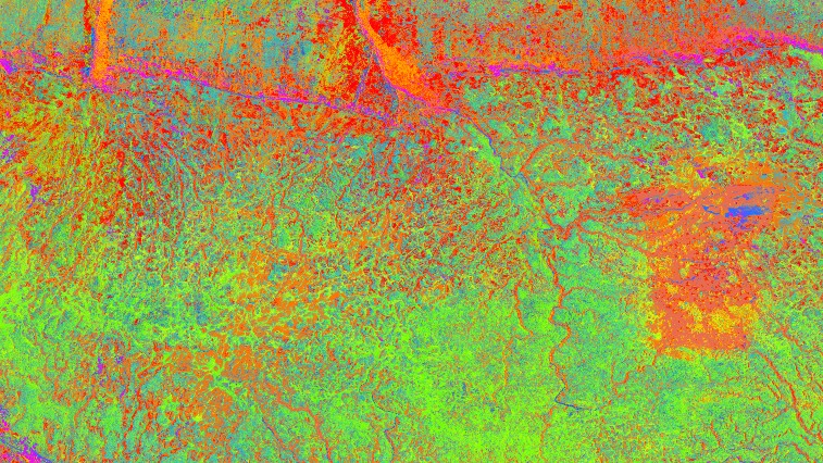
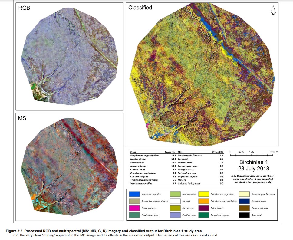
The project explored the use of three sources of imagery data, UAV (unmanned aerial vehicle), MAV (manned aerial vehicle) and satellite EO (earth observation) to map upland habitat to species level over 11 sq km of the Peak District at 10 and 5cm resolution. A report, produced by Ben Clutterbuck of Nottingham Trent University and Adrian Yallop of CS Conservation Survey, presents a comprehensive description of the accuracies obtained from each approach.
It shows that a number of widespread upland species, and important groups of plants for MFFP’s restoration activities, can be classified well and could readily form part of a monitoring programme. In particular areas of bare peat, important for conservation restoration, map extremely well, providing land managers with information to both help target activities and then monitor success.
In addition, the report describes the operational challenges experienced and lessons learned during its 4-year execution. It is hoped that by sharing this information the report will assist future projects by providing clear guidance on potential avenues of success and obstacles to avoid.
Tia Crouch, former senior research and monitoring officer at Moors for the Future Partnership, said: ‘This report is the culmination of 5 years of work, during which time we learned a huge amount about the technical and practical challenges of using remote sensing to record complex communities of vegetation. We hope the findings of the project will be useful to others who are intending to use these technologies in their own work.’
The full report can be found here: https://irep.ntu.ac.uk/id/eprint/47095/7/1601391_a2249_Clutterbuck.pdf
Watch the authors of the report discuss their findings in detail
Please note that this video is best viewed in HD - go to settings and select 'higher picture quality' or the highest quality available in your browser.