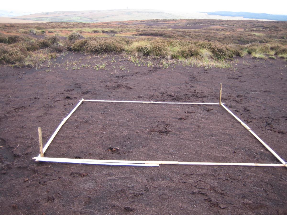
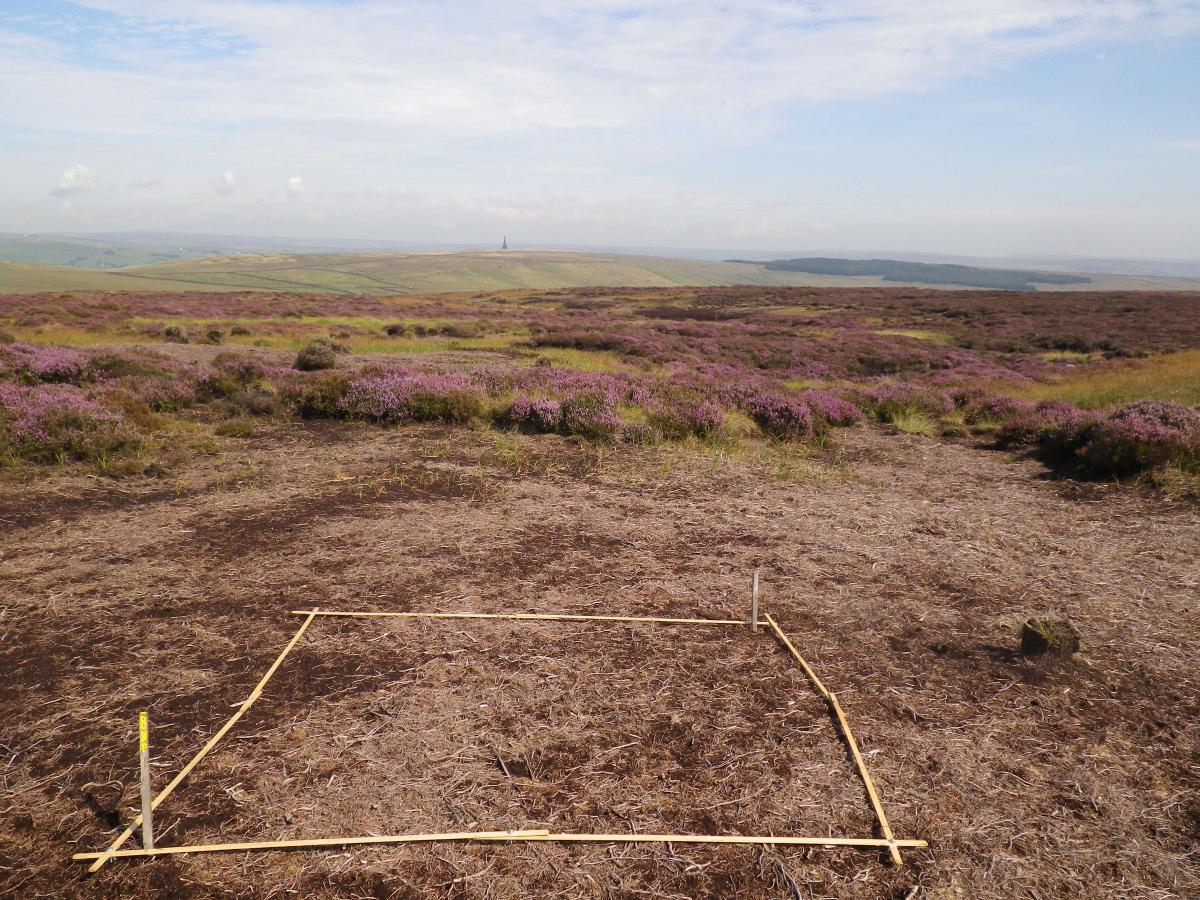
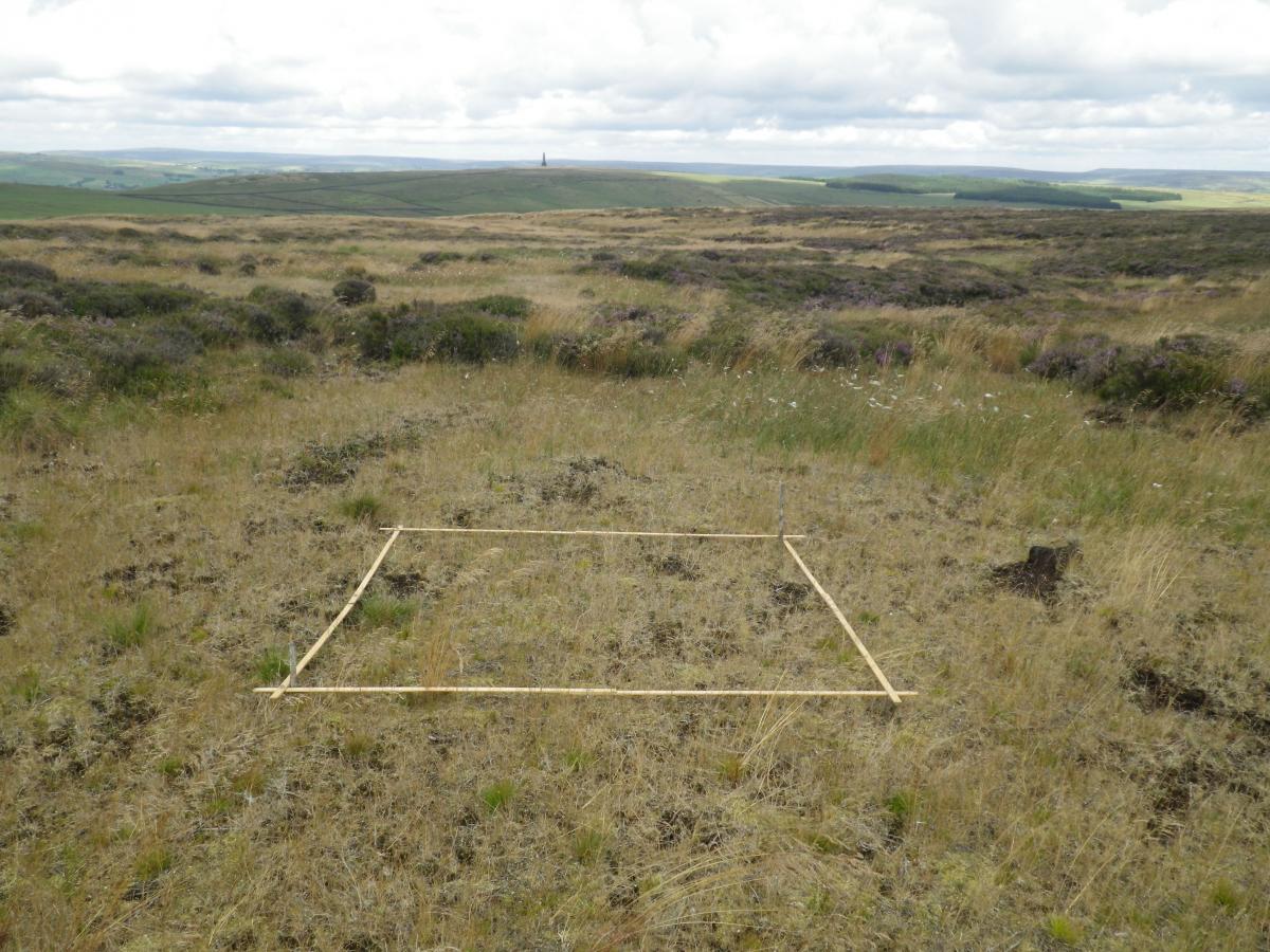
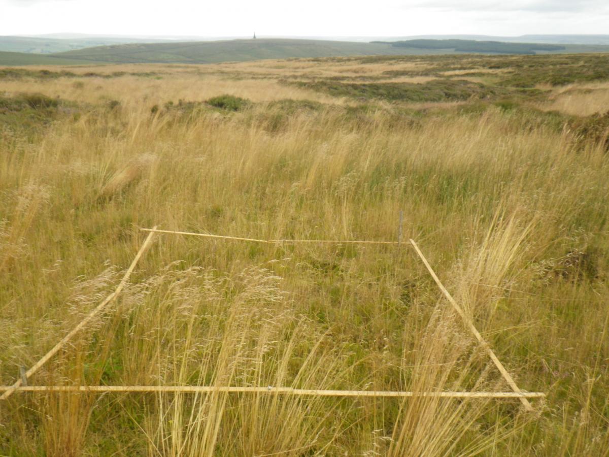
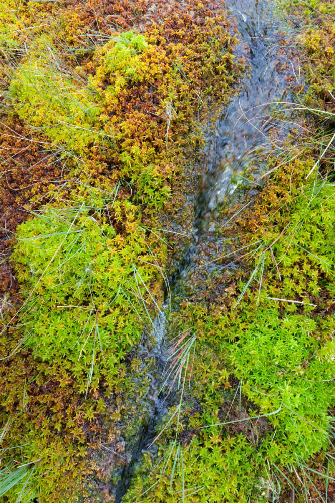
Vegetation monitoring
To measure the changes in the moorland vegetation communities in relation to land management activities an annual vegetation monitoring campaign took place.
A total of 228 fixed, two-metre squared monitoring plots were used where work was carried out as well as 'reference' bare peat sites and intact sites.
The regular surveying work, carried out by a dedicated team of staff and volunteers identified the number of species of plants and grassed and their quantity on each of the monitoring plots.
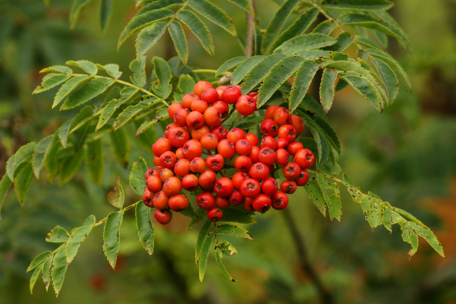
Photo gallery
These photographs illustrate the changes that took place over one such quadrat at Turley Holes between 2010 and 2014.
You may also be interested in...
Funded by
![]()
![]()